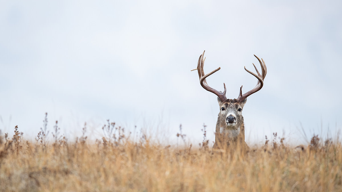
Scouting These Public Land Spots Will Help You Kill More Deer

When it comes to hunting public lands, finding consistency from tract to tract is rare. Each area presents its own challenges and often has very few similarities to the next one. Over the years, one trend I continue to see is that mature bucks use public lands as a portion of their home range, rather than living on it exclusively. Of course there are exceptions, including large BLM tracts, 10,000-acre national forests, and the like.
Because bucks aren’t spending all their time on public lands in many cases, it’s vital to find the areas with the best chance of hosting a buck in daylight. When you do find one of these uncommon sweet spots, you can figure out exactly when and how he’s using the area and hunt him accordingly.
Highest and Best UseIt’s no secret that public land bucks are masters at reacting to and circumnavigating pressure. The key to beating them at their own game is determining what a particular tract of land offers a buck.Start with a mapzoomed out far enough to cover at least a 2-mile radius. Take note of where likelyfood sources, security cover, and travel corridorsmight be. Based on that broad view, draw conclusions about how far food is from cover or vice versa. Do this for multiple properties in an area. Once you identify what looks good, take your e-scouting a step further to drill down on the best access, possible travel routes, and general use areas likebeddingandstaging locations.
Don’t get fooled into thinking there’s little or nofood on a piece of public landif you don’t see any ag fields or planted areas. While these food sources can have strong drawing power to attract deer, a deer’s diet is still primarily made up of native vegetation. You won’t know what food quality the property actually holds until you get boots on the ground. Whether you’re hunting around your home or on a short out-of-state trip, use aerials to prioritize the properties worth scouting. This is essential for maximizing your time when searching for a mature buck on public land. Once your property list is set, it’s time to whittle down the top few choices.
Working From the Outside InYou can draw some helpful conclusions from maps, but perhaps the most helpful of all is the property boundary. One of the best ways tostart learning public landis by walking the boundaries. Here’s a necessary disclaimer: In no way am I advocating for hunting property lines. This strategy simply helps you see where deer are most commonly exiting and entering the public land. Don’t be that hunter. Mind the line and give the landowner the respect and courtesy you would want in their situation. Once you determine these entry and exit locations, track them back deeper into the public land. The goal is twofold—prove or disprove your predictions on the best use of the property for a buck, and identify ambush points to hunt them.
Reference your previous mapwork to think through the use of the property as you scout. If the area offers more food, you can structure your approach primarily around an evening strategy. If it’s moresecurity cover and bedding based, you’ll have a few more options. Take note and pin down key locations such as funnels, transitions, and other possible ambush sites.
Putting it TogetherNow that you’ve determined the highest and best use for a buck and narrowed down a specific area he is using on the public parcel, it’s time to get dialed into your kill spot. Carefully thinking through details, conditions, and other key points helps maximize your chances of timing it right.The trails and travel routesare a good starting point, but it’s critical to look deeper.
Pay close attention to the sign, not just therubsand scrapes, but the position of the rubs and scrapes in relation to travel routes. Then think analytically about what predominant wind directions offer to a buck’s scent advantage when he’s traveling. Ask yourself how the terrain and structure can allow you to manipulate that wind direction for a false sense of security for the buck. Break your scouting down by vegetation types. Look for the points in thick cover with diverse plant cover. Forested areas with varying tree and understory types often funnel movement along the transition points where one type meets another. This outside-in approach helps lead you to the area used most by a buck in daylight.
Consider other influencers like hunting pressure, food sources, and the phase of the season you plan to hunt. These all affect the travel routes and sign you see. Efficiently scouting the highest and best use of a piece of public through examining the perimeter of as many quality tracts as possible will help ensure you stay effective, adaptable, and have plenty of options throughout the entire season.
Shop
Sign In or Create a Free Account
Related

Manage
3 Simple Land Improvement Projects that Will Help You Kill More Bucks


Scout
Scouting These Public Land Spots Will Help You Kill More Deer
