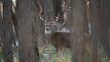
How to E-Scout Big Woods for Whitetails

A majority of the public lands available to hunt whitetails in the North, South, and East are made up of tracts of forests—rather than the farmlands of the Midwest. In my opinion, the Appalachian region gives you the best opportunity to get away from the crowds and find adventure for that reason. Figuring out how to hunt these big tracts of timber can be overwhelming, but is far from impossible.
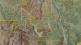
E-scoutingis always my first step prior to getting boots on the ground. Utilizing a mapping tool likeonXwill allow you to get a macro look at the area you’re focused on. To begin e-scouting, I look at the map and identify all places that are within an hour drive of any population center. Those are spots I eliminate right off the bat. Part of the game in big woods is getting away from the crowds, which is pretty damn hard when 100,000 people live next door.
Find Vegetation DiversityOnce I locate a place that’s remote enough for my liking, it’s time to fine tune the search. One of the first things I look for next is vegetation diversity. I’ve noticed that the more diversity in vegetation, the better the deer hunting. Having different vegetation features such as logging cuts, conifer thickets, mountain laurel patches, and mature hardwood trees give the deer everything they need for food variety and bedding cover.
Areas that are mostly mature forests don’t interest me since the canopy doesn’t allow sunlight to get through and grow thick, luscious new growth in the understory.
Logging cutsand conifer trees are the easiest to identify on the aerial view due to their distinct features. Other types of vegetation are harder to pick out, but it’s not as important as just finding diversity and the edges of different vegetation. Once you find these places, it’s important to mark them with a color-coded waypoint. I can promise you that if your memory is as bad as mine, the “I’ll remember this spot” strategy is not as effective as you'd think.
Find Terrain DiversityOnce I feel good about the food available, I’ll switch my onX view to the hybrid mode of topo overlay on aerial imagery. This helps me understand how the terrain looks in conjunction with the vegetation.
I like big woods areas that have different levels of terrain rather than those that lay flat. When you have drastic changes in elevation and terrain, it funnels the deer movement more so than in featureless spots. Sure, that steeper terrain makes access harder, but the physical effort necessary also keeps people out.
I’m specifically looking at the points of ridgeswhere bucks tend to bed, benches on the sides of the ridges leading from the points with steep terrain on both sides, draws coming up from the valley floor, low spots on a ridge (saddles), and creek bottom travel corridors. After marking these points of interest, I want to see where the terrain and vegetation features meet and create natural funnels, transitions, and staging areas.
Map the WindWhenever I’m e-scouting, I always keep the time of year in mind when I’m going to be hunting. If you’re making a three-hour drive and only have a week during the rut to make it happen, then your e-scouting needs to be focused around that time frame. You can save time scouting and be more efficient by mapping the wind before you ever set foot in the woods.
For example, if you’re planning on hunting the first week of November and historical weather shows mostly northerly and westerly winds, then you should start dropping waypoints on spots that take advantage of those gusts. These leeward areas can include bedding points, side-hill benches, and edges of clear cuts.
In addition to that, thermals also come into play in hill country. This can get complicated pretty quickly, but there are some basic rules of thermals to know. When an area is shaded or the sun is down, the air sucks down the valleys and side hills. When the sun is out and heating up the hillsides, the air is going up the hills in reverse order.
For a more in-depth look at this phenomenon, check outTony Peterson's articlethat's specific to thermals in whitetail country.
You can usually find the predominant winds on hilltops and flat areas, whereas thermals are more of a concern down low and around elevation changes. Many times, finding where the predominant wind and thermals meet create ideal bedding and travel opportunities for mature bucks.
The Next StepsThe key to e-scouting the big woods is being able to break down a large piece of land into a much smaller, manageable area to hunt. Identifying those key places through vegetation diversity, terrain changes, and likely wind direction will give you the starting point for everything else. If e-scouting is step one and boots-on-the-ground scouting is step two, then step three is the actual hunt. Be efficient in step one and the rest will come easy in the big woods.
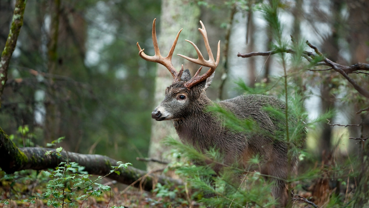
Feature image via Matt Hansen.
Shop


Sign In or Create a Free Account
Related
Scout
How to Winter Scout for Big Woods Whitetails

Scout
How to E-Scout for Public Land Whitetails