How to Use Maps and Navigation Tools for Hunting
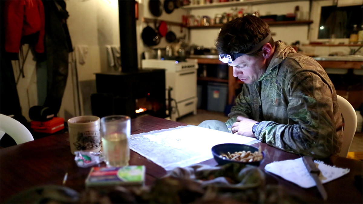

Maps and navigation tools are imperative when huntingunfamiliar country, and even for gaining a better understanding of familiar turf. These days, maps come in a variety of forms and they contain a wide array of information that is helpful to the hunter. Here they are broken into three categories, with explanations of what you need and how to use it.
Satellite Imagery
Pictures taken from high above the landscape offer a detailed view of the vegetation that cannot be deciphered from topographical maps alone. This is important to hunters, as finding game often comes down to locating open feeding areas, thick bedding areas, and natural funnels and travel corridors. Knowing the exact location of a dry and brushy island in the middle of an enormous cattail marsh can be an invaluable piece of insight.
Use programs such asGoogleto pre-scout areas and get a “feel” for the land. Mark the coordinates of good looking spots in your GPS, and then check them out on scouting trips. Also, bring along a laminated printout of satellite imagery. During the hunt, you can take a moment to peer over a satellite image and identify valuable details that perhaps didn’t jump out at you before you had firsthand experience of the area.
Topographical Maps
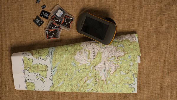
The problem with satellite imagery is that it’s very hard to discern the vertical character –the ups and down, if you will—of a landscape. These are covered in detail on topographical maps. For hunting purposes,USGS quad mapsin 1:24,000-scale are the best. Use these in conjunction with satellite imagery and you’ll develop an intimate understanding of your hunting area before you even step foot on it. You can also get overlay maps, which combine satellite imagery with topographical lines and even land-ownership details.
The downside of these overlay maps is that details sometimes get lost when a map becomes overcrowded with information. There are multiple sources for such maps; do an internet search for “custom hunting maps.” Of course, you can get all of the above information from a GPS unit, but it’s hard to beat the “big screen” of a paper map. And paper maps don’t need batteries.
GPS
While all of us should know how to find our position on a map, it is faster and way more convenient and accurate to do it with a GPS. Today’s GPS’s can be loaded with detailed topographical maps and land-ownership information as well.
Armed with this info, the hunter never has to wonder if he is trespassing or if a big buck on the other side of the fence is fair game. By always remembering to mark your vehicle or camp, you will have the confidence to chase after distant game knowing you’ll be able to find your way back after dark.
Whose Land is That
Land ownershipmaps (often called plat maps) used to be hard to track down, but not anymore. The Montana-based companyonXmakes statewide digital topo/plat maps that are compatible with most Garmin GPS units. So far they offer products for nineteen states, and they continue to add more. You can get an entire state for about $100.
Sign In or Create a Free Account
Related

Hunting Gear
How to Use Maps and Navigation Tools for Hunting
Hunting Gear
How to Fit and Load a Hunting Pack